Dorking Bowling Club
Introduction
The photograph on this page of Dorking Bowling Club by Colin Smith as part of the Geograph project.
The Geograph project started in 2005 with the aim of publishing, organising and preserving representative images for every square kilometre of Great Britain, Ireland and the Isle of Man.

There are currently over 7.5m images from over 14,400 individuals and you can help contribute to the project by visiting https://www.geograph.org.uk
Dorking Bowling Club
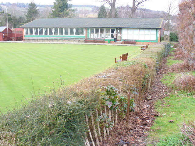
Image: © Colin Smith Taken: 7 Mar 2009
A green oasis in Drill Hall Road, opposite the Drill Hall itself. In the distance is Ranmore Common.
Images are licensed for reuse under creativecommons.org/licenses/by-sa/2.0
Image Location
Latitude
51.232531
Longitude
-0.338923