Bents Brook
Introduction
The photograph on this page of Bents Brook by Colin Smith as part of the Geograph project.
The Geograph project started in 2005 with the aim of publishing, organising and preserving representative images for every square kilometre of Great Britain, Ireland and the Isle of Man.

There are currently over 7.5m images from over 14,400 individuals and you can help contribute to the project by visiting https://www.geograph.org.uk
Bents Brook
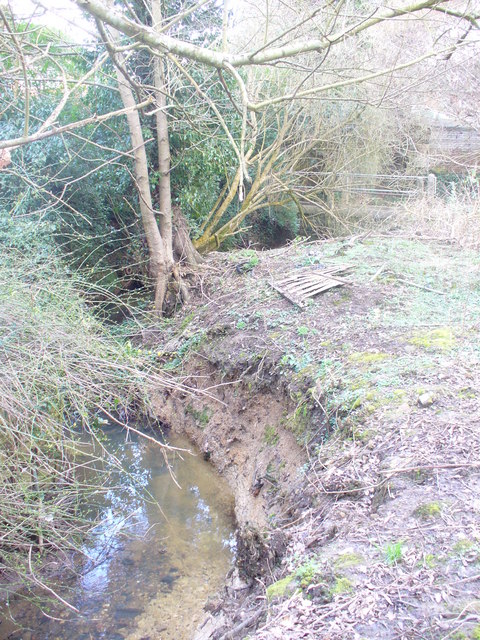
Image: © Colin Smith Taken: 7 Mar 2009
Mole tributary, passing by housing developments in southern Dorking. The steep, sandy winding banks are about 3 feet deep.
Images are licensed for reuse under creativecommons.org/licenses/by-sa/2.0
Image Location
Latitude
51.217478
Longitude
-0.317556