Carlton Road, Wadsley, Sheffield
Introduction
The photograph on this page of Carlton Road, Wadsley, Sheffield by Terry Robinson as part of the Geograph project.
The Geograph project started in 2005 with the aim of publishing, organising and preserving representative images for every square kilometre of Great Britain, Ireland and the Isle of Man.

There are currently over 7.5m images from over 14,400 individuals and you can help contribute to the project by visiting https://www.geograph.org.uk
Carlton Road, Wadsley, Sheffield
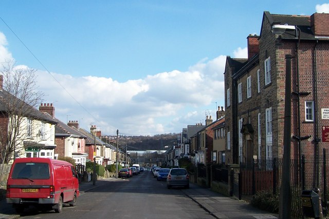
Image: © Terry Robinson Taken: 6 Mar 2009
The Wadsley United Reformed Church is on the right ... seems strange to build it at the top end of a residential street but maybe it was there before all the houses. I have titled the street as being in Wadsley ('cos that's how the Church is named) but I would describe it as being in Hillsborough. Mind you I'm not a local so what do I know. Image
Images are licensed for reuse under creativecommons.org/licenses/by-sa/2.0
Image Location
Latitude
53.410742
Longitude
-1.506381