Allt Tarsuinn
Introduction
The photograph on this page of Allt Tarsuinn by Dorothy Carse as part of the Geograph project.
The Geograph project started in 2005 with the aim of publishing, organising and preserving representative images for every square kilometre of Great Britain, Ireland and the Isle of Man.

There are currently over 7.5m images from over 14,400 individuals and you can help contribute to the project by visiting https://www.geograph.org.uk
Allt Tarsuinn
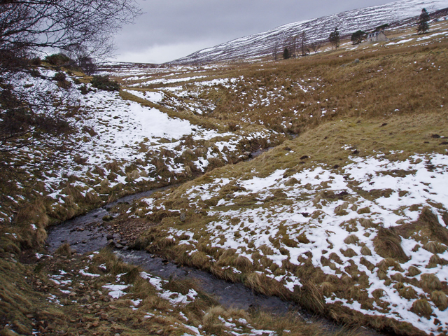
Image: © Dorothy Carse Taken: 7 Mar 2009
North of Tomlay, just before its confluence with Allt Mor. Lyntelloch can just be seen between the trees at top right.
Images are licensed for reuse under creativecommons.org/licenses/by-sa/2.0
Image Location
Latitude
57.28282
Longitude
-3.4612