Scarborough Milestone
Introduction
The photograph on this page of Scarborough Milestone by David Rogers as part of the Geograph project.
The Geograph project started in 2005 with the aim of publishing, organising and preserving representative images for every square kilometre of Great Britain, Ireland and the Isle of Man.

There are currently over 7.5m images from over 14,400 individuals and you can help contribute to the project by visiting https://www.geograph.org.uk
Scarborough Milestone
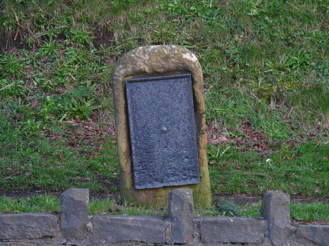
Image: © David Rogers Taken: 6 Mar 2009
Beside the A170 on Stepney Hill. An 1854 map suggests the wording read "Scarborough 2" miles and "Malton 20" miles. Maps from 1919 and 1939 simply refer to an old milestone.
Images are licensed for reuse under creativecommons.org/licenses/by-sa/2.0
Image Location
Latitude
54.274343
Longitude
-0.435862