Closed, the Hog and Donkey
Introduction
The photograph on this page of Closed, the Hog and Donkey by Nick Smith as part of the Geograph project.
The Geograph project started in 2005 with the aim of publishing, organising and preserving representative images for every square kilometre of Great Britain, Ireland and the Isle of Man.

There are currently over 7.5m images from over 14,400 individuals and you can help contribute to the project by visiting https://www.geograph.org.uk
Closed, the Hog and Donkey
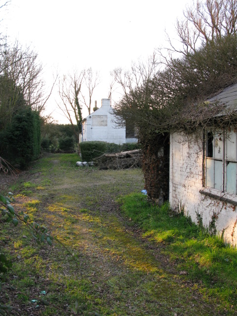
Image: © Nick Smith Taken: 21 Feb 2009
The site is cleared and it looks like this is another pub gone for ever.
Images are licensed for reuse under creativecommons.org/licenses/by-sa/2.0
Image Location
Latitude
51.357425
Longitude
1.19338