Reclaimed Land above Lynemouth Bay
Introduction
The photograph on this page of Reclaimed Land above Lynemouth Bay by Chris Heaton as part of the Geograph project.
The Geograph project started in 2005 with the aim of publishing, organising and preserving representative images for every square kilometre of Great Britain, Ireland and the Isle of Man.

There are currently over 7.5m images from over 14,400 individuals and you can help contribute to the project by visiting https://www.geograph.org.uk
Reclaimed Land above Lynemouth Bay
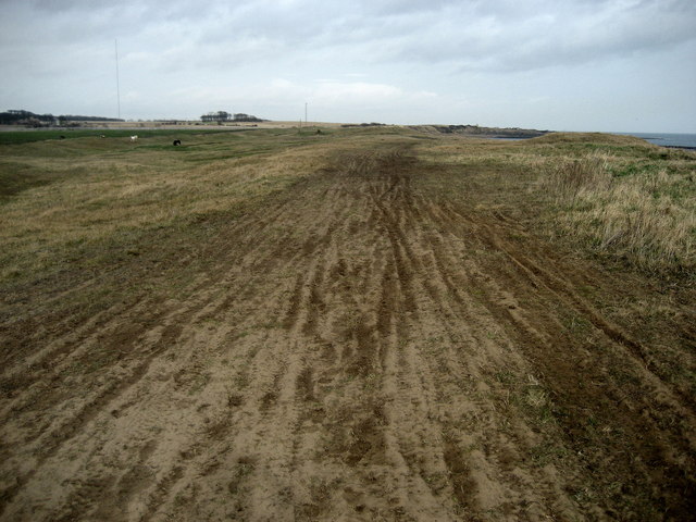
Image: © Chris Heaton Taken: 3 Mar 2009
European Union money has been utilised to tidy this area up, and is loaned as an impromptu cycle track.
Images are licensed for reuse under creativecommons.org/licenses/by-sa/2.0
Image Location


Leaflet Map data © OpenStreetMap
Latitude
55.215112
Longitude
-1.527219