The Black Mountains from Ruardean
Introduction
The photograph on this page of The Black Mountains from Ruardean by Stuart Wilding as part of the Geograph project.
The Geograph project started in 2005 with the aim of publishing, organising and preserving representative images for every square kilometre of Great Britain, Ireland and the Isle of Man.

There are currently over 7.5m images from over 14,400 individuals and you can help contribute to the project by visiting https://www.geograph.org.uk
The Black Mountains from Ruardean
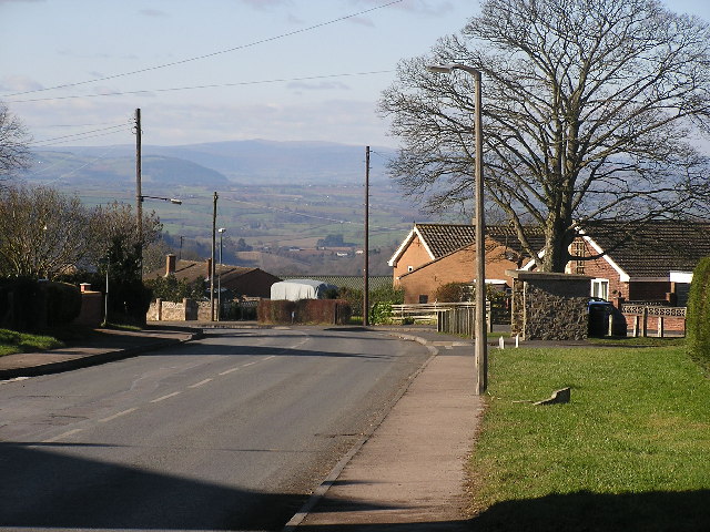
Image: © Stuart Wilding Taken: 9 Feb 2006
Ruardean is one of the highest points in the Forest of Dean. Here you can clearly see the Black Mountains in the distance. Waun Fach is the highest point between the two telegraph poles.
Images are licensed for reuse under creativecommons.org/licenses/by-sa/2.0
Image Location


Leaflet Map data © OpenStreetMap
Latitude
51.856599
Longitude
-2.550254