Orangefield Park, Hospital Road, Omagh
Introduction
The photograph on this page of Orangefield Park, Hospital Road, Omagh by Kenneth Allen as part of the Geograph project.
The Geograph project started in 2005 with the aim of publishing, organising and preserving representative images for every square kilometre of Great Britain, Ireland and the Isle of Man.

There are currently over 7.5m images from over 14,400 individuals and you can help contribute to the project by visiting https://www.geograph.org.uk
Orangefield Park, Hospital Road, Omagh
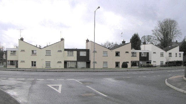
Image: © Kenneth Allen Taken: 8 Feb 2006
Built in the late 50's, the houses facing the road had this butterfly roof design. Most of the tenants bought their properties at a discounted price rather than continue to pay rent.
Images are licensed for reuse under creativecommons.org/licenses/by-sa/2.0
Image Location


Leaflet Map data © OpenStreetMap
Latitude
54.597699
Longitude
-7.279772