The A485 in Llanybydder
Introduction
The photograph on this page of The A485 in Llanybydder by Nigel Brown as part of the Geograph project.
The Geograph project started in 2005 with the aim of publishing, organising and preserving representative images for every square kilometre of Great Britain, Ireland and the Isle of Man.

There are currently over 7.5m images from over 14,400 individuals and you can help contribute to the project by visiting https://www.geograph.org.uk
The A485 in Llanybydder
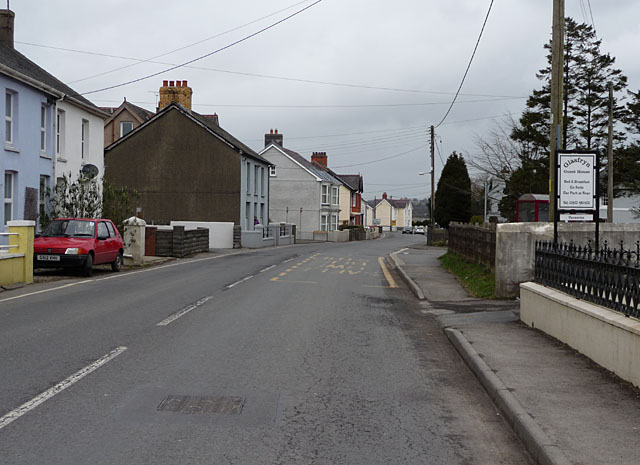
Image: © Nigel Brown Taken: 6 Mar 2009
Here forming what passes for the main street in the village. Llanybydder has no real distinctive centre, the nearest to this being the crossroads further along this road; the scene here, of detached houses lined up along the highway, is typical.
Images are licensed for reuse under creativecommons.org/licenses/by-sa/2.0
Image Location
Latitude
52.073047
Longitude
-4.158356