Lochvane Farm, Brawdy parish
Introduction
The photograph on this page of Lochvane Farm, Brawdy parish by Deborah Tilley as part of the Geograph project.
The Geograph project started in 2005 with the aim of publishing, organising and preserving representative images for every square kilometre of Great Britain, Ireland and the Isle of Man.

There are currently over 7.5m images from over 14,400 individuals and you can help contribute to the project by visiting https://www.geograph.org.uk
Lochvane Farm, Brawdy parish
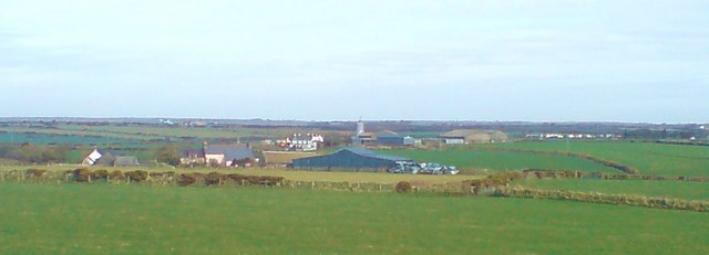
Image: © Deborah Tilley Taken: 6 Mar 2009
The site of Neolithic and Bronze Age finds. To the south west of the farm was an earlier, Medieval settlement known as Lachmayn or Lochfan.
Images are licensed for reuse under creativecommons.org/licenses/by-sa/2.0
Image Location


Leaflet Map data © OpenStreetMap
Latitude
51.870043
Longitude
-5.165422