Eardswick Lane, near High Farm
Introduction
The photograph on this page of Eardswick Lane, near High Farm by Espresso Addict as part of the Geograph project.
The Geograph project started in 2005 with the aim of publishing, organising and preserving representative images for every square kilometre of Great Britain, Ireland and the Isle of Man.

There are currently over 7.5m images from over 14,400 individuals and you can help contribute to the project by visiting https://www.geograph.org.uk
Eardswick Lane, near High Farm
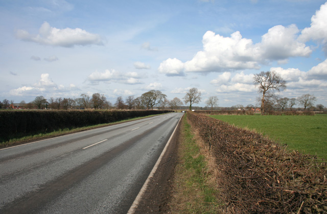
Image: © Espresso Addict Taken: 5 Mar 2009
Busy unclassified road from the A530 at Bradfield Green to Church Minshull. The flat pasture visible here is typical of this grid square. This view northwards is from north of High Farm, with Eardswick Hall on the edge of the square just visible on the left
Images are licensed for reuse under creativecommons.org/licenses/by-sa/2.0
Image Location


Leaflet Map data © OpenStreetMap
Latitude
53.134009
Longitude
-2.484832