Date stone and bell
Introduction
The photograph on this page of Date stone and bell by Pauline E as part of the Geograph project.
The Geograph project started in 2005 with the aim of publishing, organising and preserving representative images for every square kilometre of Great Britain, Ireland and the Isle of Man.

There are currently over 7.5m images from over 14,400 individuals and you can help contribute to the project by visiting https://www.geograph.org.uk
Date stone and bell
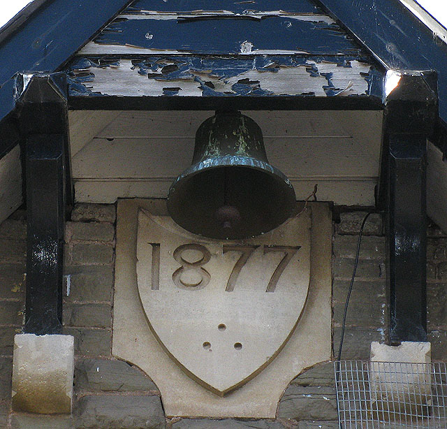
Image: © Pauline E Taken: 4 Mar 2009
On the building which I think is the former Board School. Image
Images are licensed for reuse under creativecommons.org/licenses/by-sa/2.0
Image Location


Leaflet Map data © OpenStreetMap
Latitude
51.917077
Longitude
-2.868536