Burringham Road, Scunthorpe
Introduction
The photograph on this page of Burringham Road, Scunthorpe by Paul Harrop as part of the Geograph project.
The Geograph project started in 2005 with the aim of publishing, organising and preserving representative images for every square kilometre of Great Britain, Ireland and the Isle of Man.

There are currently over 7.5m images from over 14,400 individuals and you can help contribute to the project by visiting https://www.geograph.org.uk
Burringham Road, Scunthorpe
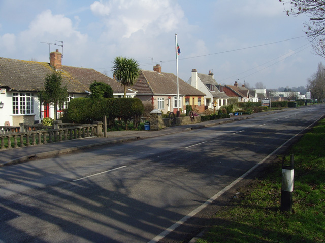
Image: © Paul Harrop Taken: 5 Mar 2009
Houses on the northern side of the B1450 seen from the entrance to the Ashby Decoy golf club. The white building discernible in the distance is the Asda superstore.
Images are licensed for reuse under creativecommons.org/licenses/by-sa/2.0
Image Location
Latitude
53.564663
Longitude
-0.68896