Footpath to Chettle Head Copse
Introduction
The photograph on this page of Footpath to Chettle Head Copse by Maigheach-gheal as part of the Geograph project.
The Geograph project started in 2005 with the aim of publishing, organising and preserving representative images for every square kilometre of Great Britain, Ireland and the Isle of Man.

There are currently over 7.5m images from over 14,400 individuals and you can help contribute to the project by visiting https://www.geograph.org.uk
Footpath to Chettle Head Copse
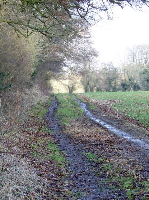
Image: © Maigheach-gheal Taken: 5 Mar 2009
The footpath goes around the edge of fields on a wide track until it reaches the copse.
Images are licensed for reuse under creativecommons.org/licenses/by-sa/2.0
Image Location
Latitude
50.982642
Longitude
-1.969464