Roseville Methodist Church
Introduction
The photograph on this page of Roseville Methodist Church by Richard Law as part of the Geograph project.
The Geograph project started in 2005 with the aim of publishing, organising and preserving representative images for every square kilometre of Great Britain, Ireland and the Isle of Man.

There are currently over 7.5m images from over 14,400 individuals and you can help contribute to the project by visiting https://www.geograph.org.uk
Roseville Methodist Church
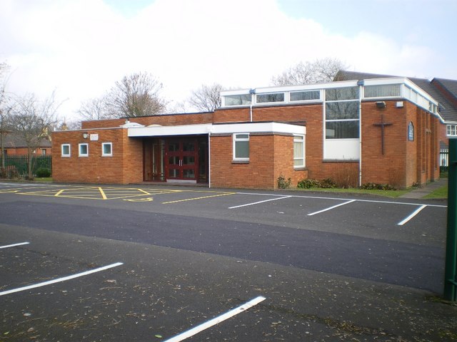
Image: © Richard Law Taken: 5 Mar 2009
Almost the same view as Image, but taken through the railings of the fence that surrounds the site. It sits on the corner of Avenue Road and Green Street.
Images are licensed for reuse under creativecommons.org/licenses/by-sa/2.0
Image Location
Latitude
52.541844
Longitude
-2.085919