Track below Moyne Moor
Introduction
The photograph on this page of Track below Moyne Moor by Mark Nightingale as part of the Geograph project.
The Geograph project started in 2005 with the aim of publishing, organising and preserving representative images for every square kilometre of Great Britain, Ireland and the Isle of Man.

There are currently over 7.5m images from over 14,400 individuals and you can help contribute to the project by visiting https://www.geograph.org.uk
Track below Moyne Moor
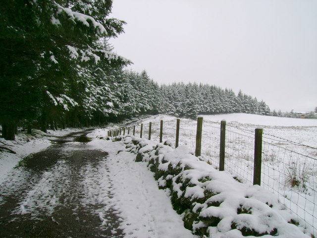
Image: © Mark Nightingale Taken: 4 Mar 2009
The track from Lochend Hill continues past this conifer plantation which appears to be used for rearing pheasants. It eventually meets the road close to Moyne Farm.
Images are licensed for reuse under creativecommons.org/licenses/by-sa/2.0
Image Location
Latitude
55.748184
Longitude
-4.434985