Pastures above the Monnow Valley
Introduction
The photograph on this page of Pastures above the Monnow Valley by Pauline E as part of the Geograph project.
The Geograph project started in 2005 with the aim of publishing, organising and preserving representative images for every square kilometre of Great Britain, Ireland and the Isle of Man.

There are currently over 7.5m images from over 14,400 individuals and you can help contribute to the project by visiting https://www.geograph.org.uk
Pastures above the Monnow Valley
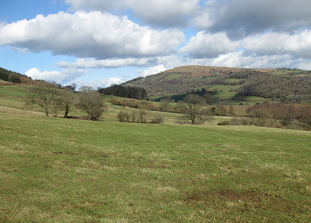
Image: © Pauline E Taken: 4 Mar 2009
Sloping down to the River Monnow which forms the boundary between England and Wales in this area. Garway Hill (366m) is across the border to the north.
Images are licensed for reuse under creativecommons.org/licenses/by-sa/2.0
Image Location
Latitude
51.893206
Longitude
-2.824771