The Waterside
Introduction
The photograph on this page of The Waterside by Mat Fascione as part of the Geograph project.
The Geograph project started in 2005 with the aim of publishing, organising and preserving representative images for every square kilometre of Great Britain, Ireland and the Isle of Man.

There are currently over 7.5m images from over 14,400 individuals and you can help contribute to the project by visiting https://www.geograph.org.uk
The Waterside
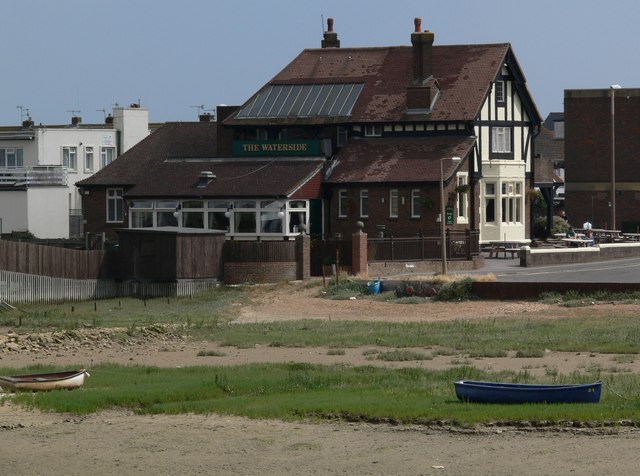
Image: © Mat Fascione Taken: 4 Aug 2006
A public house on the corner of Riverside Road and Lower Beach Road, as viewed from the footbridge across the River Adur.
Images are licensed for reuse under creativecommons.org/licenses/by-sa/2.0
Image Location
Latitude
50.829754
Longitude
-0.272035