Springvale Road, Crookes
Introduction
The photograph on this page of Springvale Road, Crookes by Dave Hitchborne as part of the Geograph project.
The Geograph project started in 2005 with the aim of publishing, organising and preserving representative images for every square kilometre of Great Britain, Ireland and the Isle of Man.

There are currently over 7.5m images from over 14,400 individuals and you can help contribute to the project by visiting https://www.geograph.org.uk
Springvale Road, Crookes
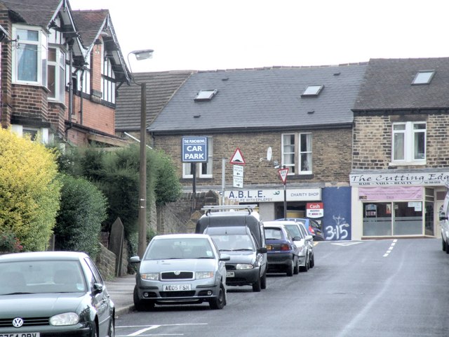
Image: © Dave Hitchborne Taken: 26 Aug 2008
The red brick building at the corner is The Punch Bowl, public house. Across the main road is F.A.B.L.E., a charity shop, which used to be The Sheffield Savings Bank, 239 Crookes. Above the bank was a nine-roomed flat. The central skylight is where my bedroom was and beneath it the master bedroom. To the left was the front room, which had views of the Park Hill flats, some distance away. We actually watched them being built, bit by bit, but it took some time to figure out where they were.
Images are licensed for reuse under creativecommons.org/licenses/by-sa/2.0
Image Location
Latitude
53.386478
Longitude
-1.507714