Springvale Road, Crookes
Introduction
The photograph on this page of Springvale Road, Crookes by Dave Hitchborne as part of the Geograph project.
The Geograph project started in 2005 with the aim of publishing, organising and preserving representative images for every square kilometre of Great Britain, Ireland and the Isle of Man.

There are currently over 7.5m images from over 14,400 individuals and you can help contribute to the project by visiting https://www.geograph.org.uk
Springvale Road, Crookes
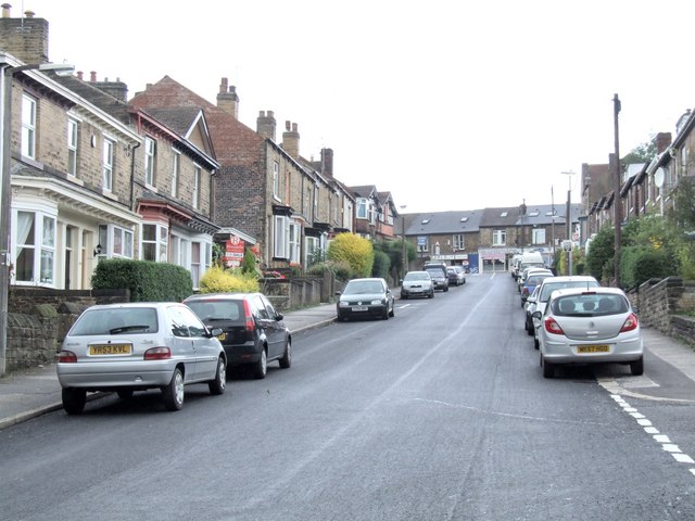
Image: © Dave Hitchborne Taken: 26 Aug 2008
The road leads from Crookes, at the top of the hill, on down to Crookesmoor. Nothing has changed much here in the last 60 years. It was my regular route down to the school on Western Road and it was a great sledging run many years ago, when there were very few cars about. For a long time, I lived at the top of here, but across the other side of the main road.
Images are licensed for reuse under creativecommons.org/licenses/by-sa/2.0
Image Location
Latitude
53.386478
Longitude
-1.507714