Hay cart on the path to Chapel station
Introduction
The photograph on this page of Hay cart on the path to Chapel station by ron layters as part of the Geograph project.
The Geograph project started in 2005 with the aim of publishing, organising and preserving representative images for every square kilometre of Great Britain, Ireland and the Isle of Man.

There are currently over 7.5m images from over 14,400 individuals and you can help contribute to the project by visiting https://www.geograph.org.uk
Hay cart on the path to Chapel station
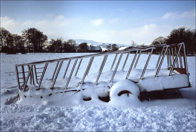
Image: © ron layters Taken: 3 Feb 2009
The path that cuts across the fields to Chapel-en-le-Frith Station in winter.
Images are licensed for reuse under creativecommons.org/licenses/by-sa/2.0
Image Location
Latitude
53.314749
Longitude
-1.92251