Flooded pool next to Bridleway
Introduction
The photograph on this page of Flooded pool next to Bridleway by Michael Duckett as part of the Geograph project.
The Geograph project started in 2005 with the aim of publishing, organising and preserving representative images for every square kilometre of Great Britain, Ireland and the Isle of Man.

There are currently over 7.5m images from over 14,400 individuals and you can help contribute to the project by visiting https://www.geograph.org.uk
Flooded pool next to Bridleway
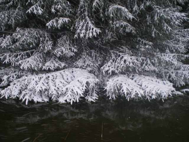
Image: © Michael Duckett Taken: 1 Feb 2008
Approximate position, this pool is one of the clearest features on the bridleway. A place to look and discover what season you are in.
Images are licensed for reuse under creativecommons.org/licenses/by-sa/2.0
Image Location


Leaflet Map data © OpenStreetMap
Latitude
55.332195
Longitude
-2.368663