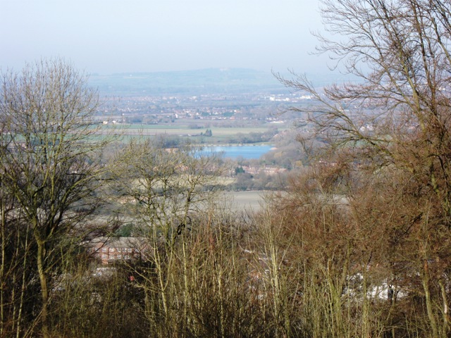
A gap in the trees reveals Weston Turville Reservoir
Introduction
The photograph on this page of A gap in the trees reveals Weston Turville Reservoir by Chris Reynolds as part of the Geograph project.
The Geograph project started in 2005 with the aim of publishing, organising and preserving representative images for every square kilometre of Great Britain, Ireland and the Isle of Man.
There are currently over 7.5m images from over 14,400 individuals and you can help contribute to the project by visiting https://www.geograph.org.uk

Image: © Chris Reynolds Taken: 2 Mar 2009
There are several large open picnic areas adjacent to the track from the café to Boddington Banks. Nearly everywhere the bordering trees hide the views. The small gap at this point allows one to see Weston Turville Reservoir – but the trees are growing and, unless action is taken, it will be invisible in a few years time. (Western Turville Reservoir was constructed in 1795 to supply water to what was then the Grand Junction Canal via the Wendover Arm.)

