Pond near Woodborough House
Introduction
The photograph on this page of Pond near Woodborough House by Derek Harper as part of the Geograph project.
The Geograph project started in 2005 with the aim of publishing, organising and preserving representative images for every square kilometre of Great Britain, Ireland and the Isle of Man.

There are currently over 7.5m images from over 14,400 individuals and you can help contribute to the project by visiting https://www.geograph.org.uk
Pond near Woodborough House
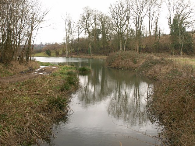
Image: © Derek Harper Taken: 25 Feb 2009
The pond, one of several in the valley below Woodborough House, extends into Image Seen from a bridge on the path from White Wicket Farm to Tyning.
Images are licensed for reuse under creativecommons.org/licenses/by-sa/2.0
Image Location
Latitude
51.302765
Longitude
-2.434298