Shoscombe Farmhouse
Introduction
The photograph on this page of Shoscombe Farmhouse by Derek Harper as part of the Geograph project.
The Geograph project started in 2005 with the aim of publishing, organising and preserving representative images for every square kilometre of Great Britain, Ireland and the Isle of Man.

There are currently over 7.5m images from over 14,400 individuals and you can help contribute to the project by visiting https://www.geograph.org.uk
Shoscombe Farmhouse
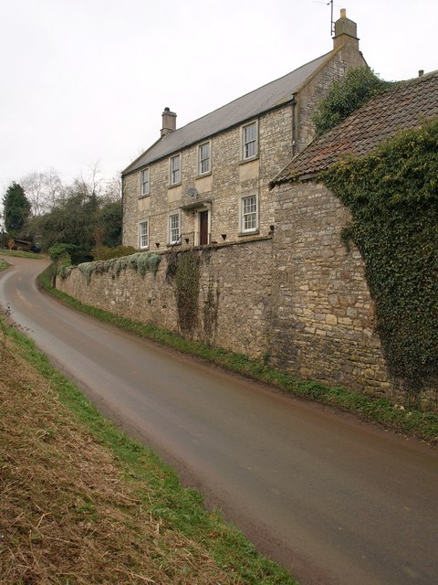
Image: © Derek Harper Taken: 25 Feb 2009
The "early C19" farm in lias limestone, is the last house in the village on Rag Hill, which climbs out westwards. Architectural details are at http://www.imagesofengland.org.uk/Details/Default.aspx?id=32663&mode=adv .
Images are licensed for reuse under creativecommons.org/licenses/by-sa/2.0
Image Location
Latitude
51.306868
Longitude
-2.4187