Tyning Hill, Radstock
Introduction
The photograph on this page of Tyning Hill, Radstock by Derek Harper as part of the Geograph project.
The Geograph project started in 2005 with the aim of publishing, organising and preserving representative images for every square kilometre of Great Britain, Ireland and the Isle of Man.

There are currently over 7.5m images from over 14,400 individuals and you can help contribute to the project by visiting https://www.geograph.org.uk
Tyning Hill, Radstock
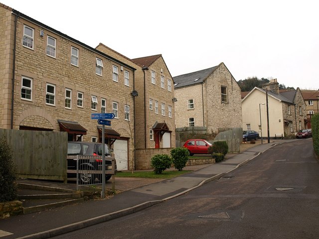
Image: © Derek Harper Taken: 25 Feb 2009
Housing in a northern suburb of Rdastock. The road leads to Image As the sign indicates, this is the point where cycleway NCN24, which follows the line of the Somerset & Dorset Joint Railway along the Wellow Brook valley, leaves the road.
Images are licensed for reuse under creativecommons.org/licenses/by-sa/2.0
Image Location
Latitude
51.29411
Longitude
-2.440239