The lowdown on Brough Station Platform
Introduction
The photograph on this page of The lowdown on Brough Station Platform by Andy Beecroft as part of the Geograph project.
The Geograph project started in 2005 with the aim of publishing, organising and preserving representative images for every square kilometre of Great Britain, Ireland and the Isle of Man.

There are currently over 7.5m images from over 14,400 individuals and you can help contribute to the project by visiting https://www.geograph.org.uk
The lowdown on Brough Station Platform
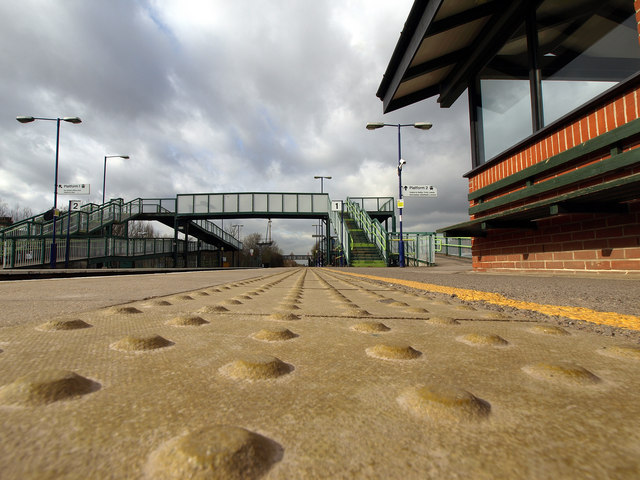
Image: © Andy Beecroft Taken: 2 Mar 2009
Taken at ground level, the lumps on the station platform's edge grips can be seen in the foreground.
Images are licensed for reuse under creativecommons.org/licenses/by-sa/2.0
Image Location
Latitude
53.72748
Longitude
-0.58098