Old Malton Flood Defences
Introduction
The photograph on this page of Old Malton Flood Defences by Stuart and Fiona Jackson as part of the Geograph project.
The Geograph project started in 2005 with the aim of publishing, organising and preserving representative images for every square kilometre of Great Britain, Ireland and the Isle of Man.

There are currently over 7.5m images from over 14,400 individuals and you can help contribute to the project by visiting https://www.geograph.org.uk
Old Malton Flood Defences
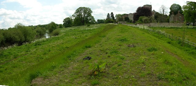
Image: © Stuart and Fiona Jackson Taken: 22 May 2005
The bank in the middle of the shot is part of the new River Derwent flood defences for Old Malton. In the background is the tower of St Mary's Priory Church
Images are licensed for reuse under creativecommons.org/licenses/by-sa/2.0
Image Location
Latitude
54.142193
Longitude
-0.784529