Otter Hole Farm, A53 west of Buxton
Introduction
The photograph on this page of Otter Hole Farm, A53 west of Buxton by Alan Fleming as part of the Geograph project.
The Geograph project started in 2005 with the aim of publishing, organising and preserving representative images for every square kilometre of Great Britain, Ireland and the Isle of Man.

There are currently over 7.5m images from over 14,400 individuals and you can help contribute to the project by visiting https://www.geograph.org.uk
Otter Hole Farm, A53 west of Buxton
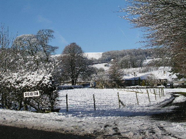
Image: © Alan Fleming Taken: 19 Nov 2004
Otter Hole Farm just off the A53 to the west of Buxton. This view taken looking NW on a bright winter's day, just after a snowfall.
Images are licensed for reuse under creativecommons.org/licenses/by-sa/2.0
Image Location
Latitude
53.258486
Longitude
-1.934004