Ashworth Road
Introduction
The photograph on this page of Ashworth Road by Paul Anderson as part of the Geograph project.
The Geograph project started in 2005 with the aim of publishing, organising and preserving representative images for every square kilometre of Great Britain, Ireland and the Isle of Man.

There are currently over 7.5m images from over 14,400 individuals and you can help contribute to the project by visiting https://www.geograph.org.uk
Ashworth Road
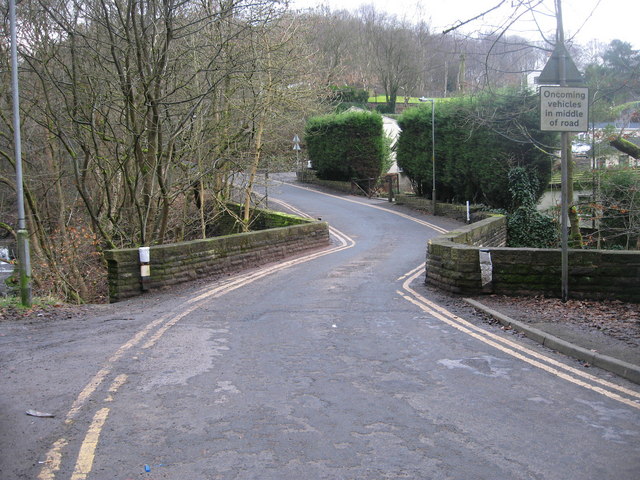
Image: © Paul Anderson Taken: 2 Mar 2009
The single track Ashworth Road is a popular short cut and rat run for cars between the A680 Rochdale Road and the B6222 Bury Road. At this location Ashworth Road crosses over Nadeen Brook via this old single track stone bridge. The buildings behind the trees on the right of the picture are Image
Images are licensed for reuse under creativecommons.org/licenses/by-sa/2.0
Image Location
Latitude
53.607768
Longitude
-2.223793