The West End of Boddington Banks
Introduction
The photograph on this page of The West End of Boddington Banks by Chris Reynolds as part of the Geograph project.
The Geograph project started in 2005 with the aim of publishing, organising and preserving representative images for every square kilometre of Great Britain, Ireland and the Isle of Man.

There are currently over 7.5m images from over 14,400 individuals and you can help contribute to the project by visiting https://www.geograph.org.uk
The West End of Boddington Banks
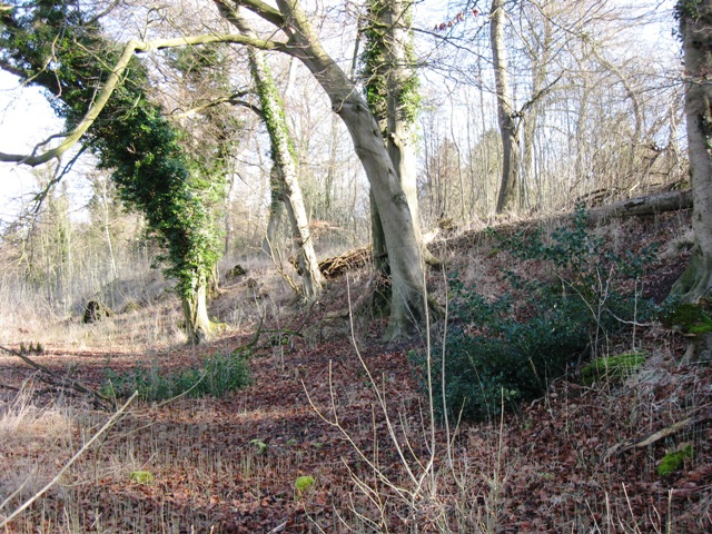
Image: © Chris Reynolds Taken: 2 Mar 2009
Boddington Hill is a spur that juts out from the main body of the Chiltern Hills. As a result the land falls off steeply on three sides. This makes it an ideal defensible position for a hill fort. This picture shows the defensive bank at the west end of the ancient camp. Originally there was probably a more noticeable ditch at this point.
Images are licensed for reuse under creativecommons.org/licenses/by-sa/2.0
Image Location
Latitude
51.763223
Longitude
-0.724973