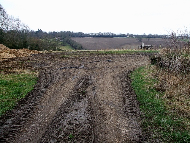
Farm cul-de-sac
Introduction
The photograph on this page of Farm cul-de-sac by Rob Farrow as part of the Geograph project.
The Geograph project started in 2005 with the aim of publishing, organising and preserving representative images for every square kilometre of Great Britain, Ireland and the Isle of Man.
There are currently over 7.5m images from over 14,400 individuals and you can help contribute to the project by visiting https://www.geograph.org.uk

Image: © Rob Farrow Taken: 28 Feb 2009
As Ashotts Lane kinks leftwards at Image], this is the view straight on where the farm's tractors obviously deposit some of their loads and then turn round by the looks of it. Looking at the map I think the properties that can be seen in the distance here are - from left to right: Ashotts Cottages (comprising Field Cottage & Ashott Cottage) by the hedgerow. Next comes "Tall Oaks" then "Baroka" both to the right of centre, the next property would be "Sundance" but I can't make that out, then on the far right is Chartridge End Farm.
Image Location


