The road to High Urpeth
Introduction
The photograph on this page of The road to High Urpeth by Alan Fearon as part of the Geograph project.
The Geograph project started in 2005 with the aim of publishing, organising and preserving representative images for every square kilometre of Great Britain, Ireland and the Isle of Man.

There are currently over 7.5m images from over 14,400 individuals and you can help contribute to the project by visiting https://www.geograph.org.uk
The road to High Urpeth
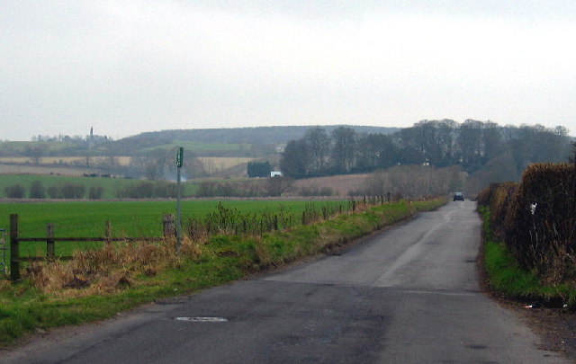
Image: © Alan Fearon Taken: 6 Feb 2006
Taken from the entrance to an old tip near Urpeth. High Urpeth is mostly hidden by the trees in the distance. The area to the left of the picture is called 'Mire Dubs' on the map. What on earth does this mean?
Images are licensed for reuse under creativecommons.org/licenses/by-sa/2.0
Image Location
Latitude
54.88108
Longitude
-1.6259