Mulberry Close
Introduction
The photograph on this page of Mulberry Close by N Chadwick as part of the Geograph project.
The Geograph project started in 2005 with the aim of publishing, organising and preserving representative images for every square kilometre of Great Britain, Ireland and the Isle of Man.

There are currently over 7.5m images from over 14,400 individuals and you can help contribute to the project by visiting https://www.geograph.org.uk
Mulberry Close
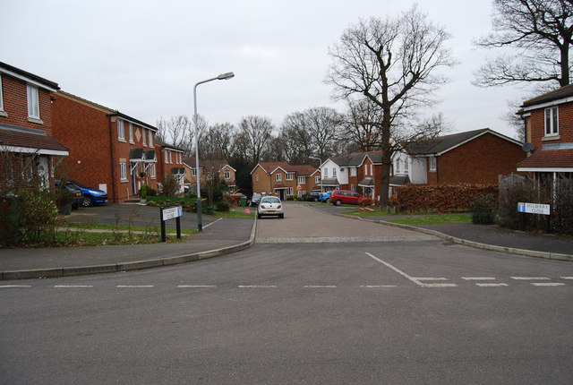
Image: © N Chadwick Taken: 28 Feb 2009
All the street names on this mid 1980s estate are named after trees.
Images are licensed for reuse under creativecommons.org/licenses/by-sa/2.0
Image Location
Latitude
51.155653
Longitude
0.279671