Cranberry Bog Road
Introduction
The photograph on this page of Cranberry Bog Road by Alan Fearon as part of the Geograph project.
The Geograph project started in 2005 with the aim of publishing, organising and preserving representative images for every square kilometre of Great Britain, Ireland and the Isle of Man.

There are currently over 7.5m images from over 14,400 individuals and you can help contribute to the project by visiting https://www.geograph.org.uk
Cranberry Bog Road
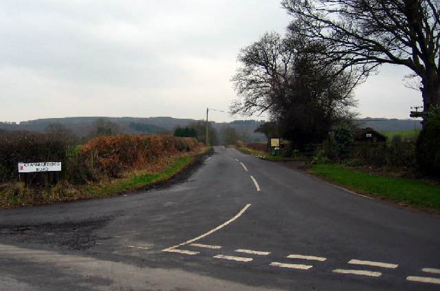
Image: © Alan Fearon Taken: 6 Feb 2006
The road junction at Pockerly Buildings (a rather grand name for a couple of houses) looking southwest along the wonderfully named road towards High Forge. Bog Hill is out of the picture on the left.
Images are licensed for reuse under creativecommons.org/licenses/by-sa/2.0
Image Location
Latitude
54.88562
Longitude
-1.641446