Plymouth : Princess Way & Notte Street
Introduction
The photograph on this page of Plymouth : Princess Way & Notte Street by Lewis Clarke as part of the Geograph project.
The Geograph project started in 2005 with the aim of publishing, organising and preserving representative images for every square kilometre of Great Britain, Ireland and the Isle of Man.

There are currently over 7.5m images from over 14,400 individuals and you can help contribute to the project by visiting https://www.geograph.org.uk
Plymouth : Princess Way & Notte Street
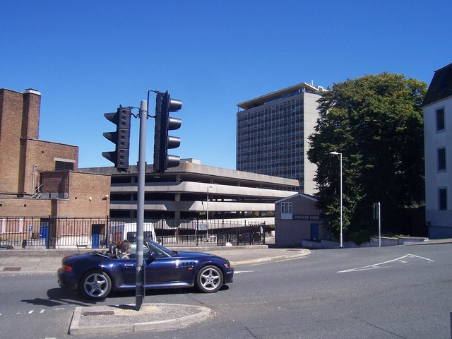
Image: © Lewis Clarke Taken: 8 Aug 2007
A road junction between the two roads. Plymouth Civic Centre can be seen in the background and so can the Theatre Royal Car Park.
Images are licensed for reuse under creativecommons.org/licenses/by-sa/2.0
Image Location
Latitude
50.368533
Longitude
-4.14487