Pasture near Blaencynllaith, Cynwyl Elfed
Introduction
The photograph on this page of Pasture near Blaencynllaith, Cynwyl Elfed by Dylan Moore as part of the Geograph project.
The Geograph project started in 2005 with the aim of publishing, organising and preserving representative images for every square kilometre of Great Britain, Ireland and the Isle of Man.

There are currently over 7.5m images from over 14,400 individuals and you can help contribute to the project by visiting https://www.geograph.org.uk
Pasture near Blaencynllaith, Cynwyl Elfed
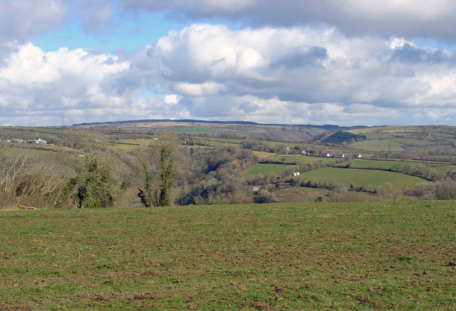
Image: © Dylan Moore Taken: 1 Mar 2009
Beyond are the valleys of Nant Gochen and Afon Duad, converging on Cynwyl Elfed village.
Images are licensed for reuse under creativecommons.org/licenses/by-sa/2.0
Image Location
Latitude
51.929552
Longitude
-4.389871