By The Mersey
Introduction
The photograph on this page of By The Mersey by Peter Whatley as part of the Geograph project.
The Geograph project started in 2005 with the aim of publishing, organising and preserving representative images for every square kilometre of Great Britain, Ireland and the Isle of Man.

There are currently over 7.5m images from over 14,400 individuals and you can help contribute to the project by visiting https://www.geograph.org.uk
By The Mersey
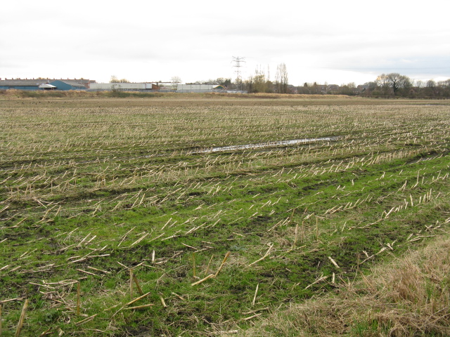
Image: © Peter Whatley Taken: 27 Feb 2009
Crop fields adjoin the Mersey (hidden from view) in a curious patch of farmland amongst south Manchester's suburbia, which has survived due to its potential to act as a flood relief zone.
Images are licensed for reuse under creativecommons.org/licenses/by-sa/2.0
Image Location
Latitude
53.43353
Longitude
-2.321162