Armada Road, Cawsand.
Introduction
The photograph on this page of Armada Road, Cawsand. by Mick Lobb as part of the Geograph project.
The Geograph project started in 2005 with the aim of publishing, organising and preserving representative images for every square kilometre of Great Britain, Ireland and the Isle of Man.

There are currently over 7.5m images from over 14,400 individuals and you can help contribute to the project by visiting https://www.geograph.org.uk
Armada Road, Cawsand.
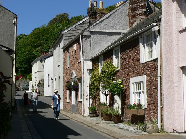
Image: © Mick Lobb Taken: 2 Jun 2006
One of the little streets in this picturesque village on the Cornish side of the mouth of the River Tamar. Fortunately it is largely by passed by 'emits' on their headlong summer migrations to the west!
Images are licensed for reuse under creativecommons.org/licenses/by-sa/2.0
Image Location


Leaflet Map data © OpenStreetMap
Latitude
50.331649
Longitude
-4.202928