Bridleway from Nyetimber Farm meets country lane
Introduction
The photograph on this page of Bridleway from Nyetimber Farm meets country lane by Dave Spicer as part of the Geograph project.
The Geograph project started in 2005 with the aim of publishing, organising and preserving representative images for every square kilometre of Great Britain, Ireland and the Isle of Man.

There are currently over 7.5m images from over 14,400 individuals and you can help contribute to the project by visiting https://www.geograph.org.uk
Bridleway from Nyetimber Farm meets country lane
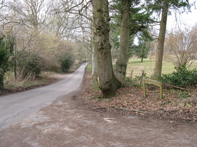
Image: © Dave Spicer Taken: 28 Feb 2009
The lane heading north is called Gay Street which leads from West Chiltington to the village of Gay Street
Images are licensed for reuse under creativecommons.org/licenses/by-sa/2.0
Image Location
Latitude
50.965869
Longitude
-0.461956