Knutsford Heath
Introduction
The photograph on this page of Knutsford Heath by Peter Whatley as part of the Geograph project.
The Geograph project started in 2005 with the aim of publishing, organising and preserving representative images for every square kilometre of Great Britain, Ireland and the Isle of Man.

There are currently over 7.5m images from over 14,400 individuals and you can help contribute to the project by visiting https://www.geograph.org.uk
Knutsford Heath
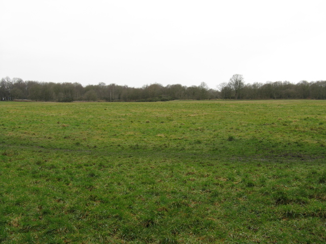
Image: © Peter Whatley Taken: 27 Feb 2009
A large expanse of open land at the core of what was once an important coaching town.
Images are licensed for reuse under creativecommons.org/licenses/by-sa/2.0
Image Location
Latitude
53.305627
Longitude
-2.380228