York Road
Introduction
The photograph on this page of York Road by Alan Murray-Rust as part of the Geograph project.
The Geograph project started in 2005 with the aim of publishing, organising and preserving representative images for every square kilometre of Great Britain, Ireland and the Isle of Man.

There are currently over 7.5m images from over 14,400 individuals and you can help contribute to the project by visiting https://www.geograph.org.uk
York Road
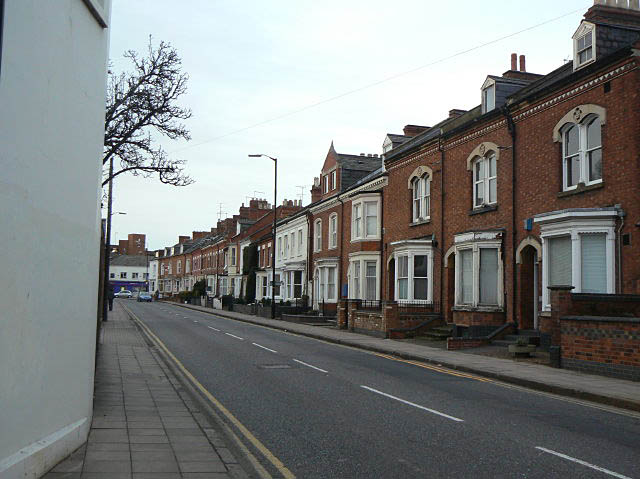
Image: © Alan Murray-Rust Taken: 26 Feb 2009
Victorian houses line this road which is part of the circuit of main roads close around the town centre. The alignment from the map suggests that it may follow the line of the old medieval town boundary.
Images are licensed for reuse under creativecommons.org/licenses/by-sa/2.0
Image Location
Latitude
52.238711
Longitude
-0.888156