Woodlands Way
Introduction
The photograph on this page of Woodlands Way by Dave Spicer as part of the Geograph project.
The Geograph project started in 2005 with the aim of publishing, organising and preserving representative images for every square kilometre of Great Britain, Ireland and the Isle of Man.

There are currently over 7.5m images from over 14,400 individuals and you can help contribute to the project by visiting https://www.geograph.org.uk
Woodlands Way
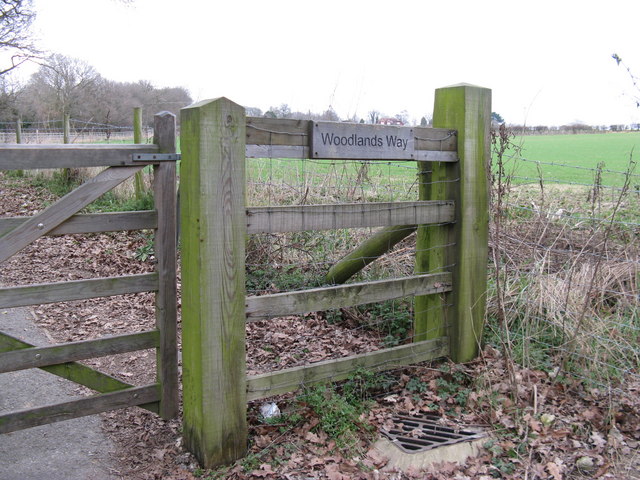
Image: © Dave Spicer Taken: 28 Feb 2009
This is a paved footpath that runs adjacent to the B 2139 to avoid the narrow uphill section into Thakeham Image
Images are licensed for reuse under creativecommons.org/licenses/by-sa/2.0
Image Location
Latitude
50.942966
Longitude
-0.4304