Green Dene Farm
Introduction
The photograph on this page of Green Dene Farm by Dave Spicer as part of the Geograph project.
The Geograph project started in 2005 with the aim of publishing, organising and preserving representative images for every square kilometre of Great Britain, Ireland and the Isle of Man.

There are currently over 7.5m images from over 14,400 individuals and you can help contribute to the project by visiting https://www.geograph.org.uk
Green Dene Farm
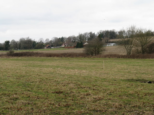
Image: © Dave Spicer Taken: 28 Feb 2009
This farm is alongside the B2139 at a point called Jacket's Hill
Images are licensed for reuse under creativecommons.org/licenses/by-sa/2.0
Image Location
Latitude
50.934553
Longitude
-0.433387