Egerton Vale
Introduction
The photograph on this page of Egerton Vale by John Tustin as part of the Geograph project.
The Geograph project started in 2005 with the aim of publishing, organising and preserving representative images for every square kilometre of Great Britain, Ireland and the Isle of Man.

There are currently over 7.5m images from over 14,400 individuals and you can help contribute to the project by visiting https://www.geograph.org.uk
Egerton Vale
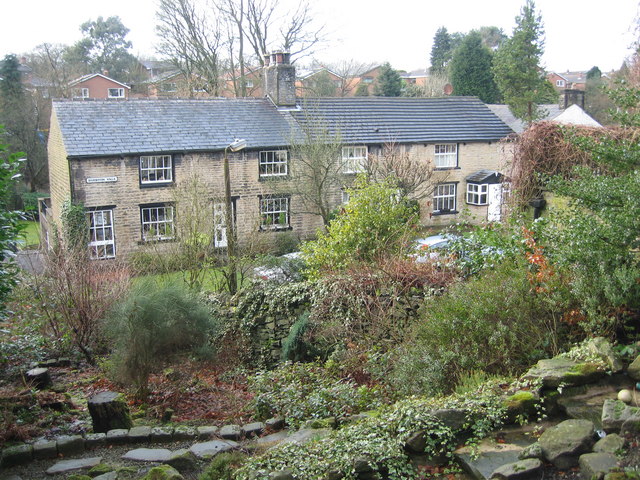
Image: © John Tustin Taken: 27 Feb 2009
Egerton Vale is a short row of terraced houses nestling between the A666 and Delph Brook Way. The houses originally all had outside toilets in the back gardens but today they are substantially modernised.
Images are licensed for reuse under creativecommons.org/licenses/by-sa/2.0
Image Location
Latitude
53.628645
Longitude
-2.441192