The 'Navigation Inn', Drake Street, Rochdale
Introduction
The photograph on this page of The 'Navigation Inn', Drake Street, Rochdale by Dr Neil Clifton as part of the Geograph project.
The Geograph project started in 2005 with the aim of publishing, organising and preserving representative images for every square kilometre of Great Britain, Ireland and the Isle of Man.

There are currently over 7.5m images from over 14,400 individuals and you can help contribute to the project by visiting https://www.geograph.org.uk
The 'Navigation Inn', Drake Street, Rochdale
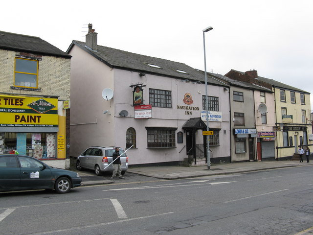
Image: © Dr Neil Clifton Taken: 23 Feb 2009
The name of this public house gives the clue to its age, as just across the road there used to be the terminal basin of the Rochdale Branch Canal. This canal, north of the junction with the main line at Lock Bridge, has been filled in.
Images are licensed for reuse under creativecommons.org/licenses/by-sa/2.0
Image Location
Latitude
53.61255
Longitude
-2.155648