Footpath junction at fenceline
Introduction
The photograph on this page of Footpath junction at fenceline by David Anstiss as part of the Geograph project.
The Geograph project started in 2005 with the aim of publishing, organising and preserving representative images for every square kilometre of Great Britain, Ireland and the Isle of Man.

There are currently over 7.5m images from over 14,400 individuals and you can help contribute to the project by visiting https://www.geograph.org.uk
Footpath junction at fenceline
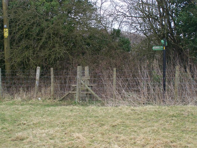
Image: © David Anstiss Taken: 26 Feb 2009
Path No.KH504 from South Lane reaches this stile on fenceline. Then Path No.KH503 leads left up slight hill to Rectory Lane, Sutton Valence. Also the path heads over stile and then follows hedgeline right to Heniker Lane.
Images are licensed for reuse under creativecommons.org/licenses/by-sa/2.0
Image Location
Latitude
51.20847
Longitude
0.597699