2009 : East at the top of Naish Hill
Introduction
The photograph on this page of 2009 : East at the top of Naish Hill by Maurice Pullin as part of the Geograph project.
The Geograph project started in 2005 with the aim of publishing, organising and preserving representative images for every square kilometre of Great Britain, Ireland and the Isle of Man.

There are currently over 7.5m images from over 14,400 individuals and you can help contribute to the project by visiting https://www.geograph.org.uk
2009 : East at the top of Naish Hill
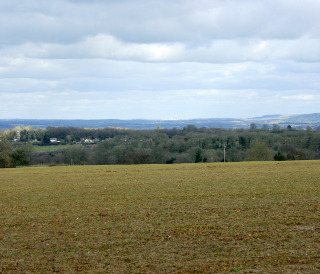
Image: © Maurice Pullin Taken: 22 Feb 2009
Derry Hill to the left, the edge of the Marlborough Downs further over to the right and I do believe Calne is in the centre on the horizon looking like a low white cloud.
Images are licensed for reuse under creativecommons.org/licenses/by-sa/2.0
Image Location
Latitude
51.419443
Longitude
-2.084798