Vineys Cottage
Introduction
The photograph on this page of Vineys Cottage by David Anstiss as part of the Geograph project.
The Geograph project started in 2005 with the aim of publishing, organising and preserving representative images for every square kilometre of Great Britain, Ireland and the Isle of Man.

There are currently over 7.5m images from over 14,400 individuals and you can help contribute to the project by visiting https://www.geograph.org.uk
Vineys Cottage
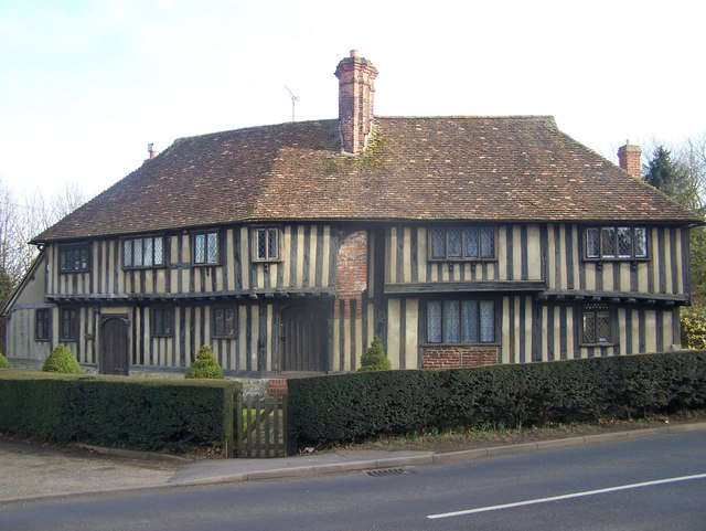
Image: © David Anstiss Taken: 26 Feb 2009
Historic building on B2163 Upper Street. Shown on most maps. For more details see http://www.imagesofengland.org.uk/details/default.aspx?id=173853
Images are licensed for reuse under creativecommons.org/licenses/by-sa/2.0
Image Location
Latitude
51.243731
Longitude
0.605561